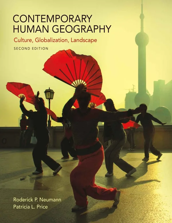
Contemporary Human Geography, Second Edition, examines how culture, population, politics, and economic activity shape places and landscapes. Neumann and Price introduce undergraduate readers to geographical tools and perspectives, connecting migration, urban life, globalization, and environmental relationships with questions about identity, boundaries, development, and the organization of human activity.
Inside this title
Cultural landscapes, population change, migration, language, and religion
Current listed price $24.00Regular price $61.00Digital ebook
Cultural landscapes offer a starting point for understanding the spatial patterns of human life. The book explores population growth, migration, language, religion, ethnicity, and political organization, relating these themes to the places people create and inhabit. Geographic information systems, remote sensing, and digital mapping introduce tools used to investigate spatial questions.
Economic and urban geography extend the discussion to agriculture, industry, services, cities, and development. The second edition also considers subjects such as race and mobility, rising sea levels and borders, and happiness as a measure of development. These examples give beginning human geography students opportunities to connect disciplinary concepts with social and environmental questions that cross national boundaries.
Study guide included
Inside Contemporary Human Geography, 2nd Edition.
This guide treats geography as a set of questions rather than a list of facts. Connection, space, scale, region and place give readers a way to interrogate any map, then follow migration, culture, territory, production, cities and energy through the patterns those maps reveal.
The book opens with geographic tools and five organizing ideas, then works through population and movement, culture and identity, political boundaries, food and industry, services and urban form, and finally resource questions. Visual spreads pair maps with short explanations, and each topic carries forward one habit: check the units, the dates and the scale before trusting a spatial pattern. Chapters stay deliberately compact, moving from a concept to a mapped example and back again. Discussion of diffusion, territorial claims and development stresses relationships between places rather than isolated country facts. The resource chapter returns to the opening concern with scale by tracing where energy originates, how it travels and who absorbs the environmental costs.
Five lenses for spatial questions
Place captures what makes a spot distinctive; region gathers places by shared traits, networks or perception; scale asks how a pattern alters as the frame widens or narrows. Space concerns arrangement and density, and connection brings distance, flow and diffusion into view. Maps show selected features, not everything, so compare units, dates and legends before reading a cluster of shading as a real pattern.
Define the unit before comparing maps
Check legend, date and scale
Replace totals with rates to test a claim
Ch. 1
Population counts and human movement
People cluster in a few regions and sit unevenly within them, so density measures reveal different pressures depending on which area is used. Breakdowns by age, births and deaths say more than a raw total, and transition models organize long-run shifts in both. Migration has two ends; net movement balances them, and jobs, kin, politics, environment and existing networks shape who reaches which destination.
Read structure, not just the total
Split natural change from migration
Follow both origin and destination
Chs. 2–3
Culture, identity and contested ground
Folk practice grows within communities over time, while popular forms travel through media and commercial channels. Speech communities and faith traditions each have an origin and a history of spread, and one shared label can mask local variation. Ethnic identity shapes neighborhoods, networks and landscapes, yet state borders drawn for governance need not match how identities or sovereignty claims are spread. Read the map's date, who published it and how features are labeled.
Trace both spread and local adaptation
Separate borders from lived identity
Ask whose claims a map displays
Chs. 4–8
Agriculture, manufacturing and development
Farming emerged independently in multiple hearths and changed as crops, tools and institutions moved. Household and market-oriented systems arrange land and work toward different ends, with climate setting limits and workforce, proximity to buyers and logistics deciding what pays. Industry favors resources, workers, transport and nearby buyers; clusters gain from suppliers and labor pools, though advantages differ by sector. Development indices add health, schooling and inequality to output.
Distinguish site advantages from situation
Connect production to market distance
Look past averages for hidden limits
Chs. 9–11
Service reach and city structure
Shops, employers and civic facilities each follow their users, and some need a big catchment or skilled workforce while others serve modest areas routinely. Mapping journey times separates residents who fall inside a boundary from those able to actually show up. Ring, wedge and multi-center models emphasize different links among land use, transport and activity centers; compare them with local history and housing conditions.
Measure reach in travel time
Use models as comparisons, not answers
Check several districts, not just one
Chs. 12–13
Energy, resources and uneven burdens
Fossil fuels remain central but are finite and unevenly spread; presence underground does not guarantee affordable extraction or delivery. Networks, markets and politics decide which reserves reach which consumers, and pollution often lands far from the people using the power. Wind, solar and hydro depend on physical conditions and grid connections, so judging sustainability means tracing where benefits and costs fall.
Separate reserves from usable supply
Follow the supply chain to its costs
Compare technologies across places
Ch. 14
Chapter and section map
Thinking geographically and interpreting mapsCh. 1
Population and HealthCh. 2
MigrationCh. 3
Folk and Popular Culture, Languages and ReligionsChs. 4–6
Ethnicity and Political GeographyChs. 7–8
Food, Agriculture, Development and IndustryChs. 9–11
Services and Urban PatternsChs. 12–13
Resource IssuesCh. 14
Key takeaways
Name the location, the regional grouping and the scale each map assumes before comparing two views.
Distinguish births and deaths from arrivals and departures when explaining why an area gains or loses residents.
Judge where a facility sits by the routes and hours that serve it, not by a straight line on a map.
Undergraduate human geography students and curious general readers who want a visual, question-driven introduction to spatial thinking, mapping and the forces that shape everyday places.
Topics covered
human geography
spatial thinking
migration patterns
cultural diffusion
political boundaries
urban models
economic development
resource geography
Questions about this ebook.
Edition, audience, and study-guide details at a glance.
What is Contemporary Human Geography, 2nd Edition about?
Contemporary Human Geography, Second Edition, examines how culture, population, politics, and economic activity shape places and landscapes. Neumann and Price introduce undergraduate readers to geographical tools and perspectives, connecting migration, urban life, globalization, and environmental relationships with questions about identity, boundaries, development, and the organization of human activity.
Which edition of Contemporary Human Geography, 2nd Edition is this?
This listing is for the 2nd edition. Check the title, ISBN, and book details above before ordering, especially if your course or reading list names a specific edition.
Who is Contemporary Human Geography, 2nd Edition for?
Undergraduate human geography students and curious general readers who want a visual, question-driven introduction to spatial thinking, mapping and the forces that shape everyday places.
Does this page include a study guide?
Yes. This page includes an original study guide with six thematic sections, key takeaways, and a chapter and section map for structured reading.